In Brief

Situation Report
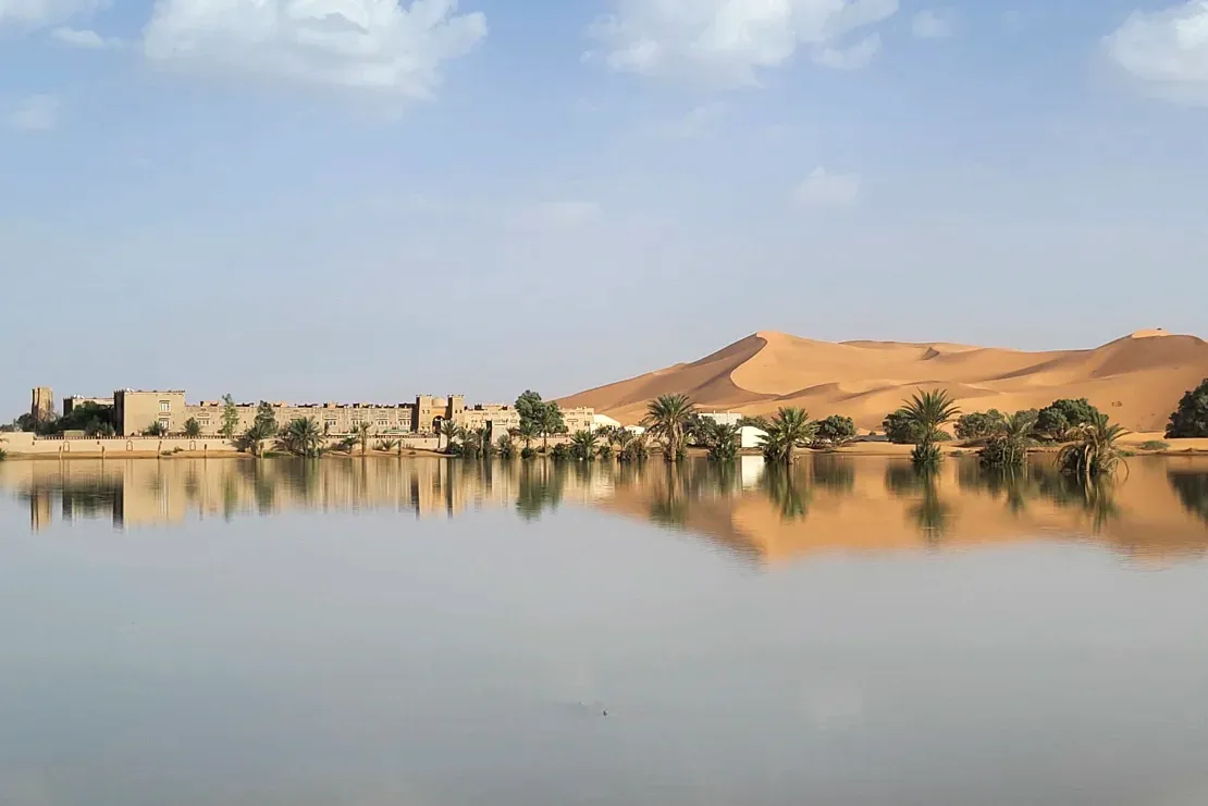
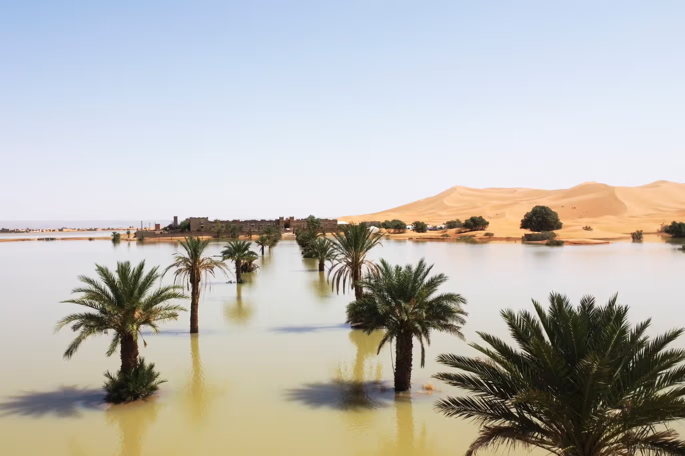
Striking visuals from the Sahara Desert reveal expansive lakes formed within rolling sand dunes following the region's first significant floods in decades.
While the Sahara typically receives minimal rainfall—averaging just a few inches annually and seldom in late summer—intense storms brought substantial precipitation to southeastern Morocco over two days in September.
This unusual weather was triggered by a low-pressure system moving across northwestern Sahara. Preliminary data from NASA satellites indicated that some areas experienced nearly 8 inches of rain. The rain transformed the arid landscape, creating a new watery environment interspersed with palm trees and sparse vegetation.
Dramatic scenes emerged from Merzouga, where the rare downpour carved lakes into the sand dunes. Reflections of palm trees now dance across newly formed lagoons, bordered by steep dunes. Additionally, lakes that typically remain dry, such as those in Iriqui National Park—the largest national park in Morocco—were replenished. Satellite images using false color techniques highlighted these new water bodies across extensive areas of northwest Sahara.
Recent satellite imagery revealed vast sections transformed into green landscapes as storms advanced further north than usual—a trend some studies attribute to climate change.
Although much of the rainfall occurred in remote regions, it also impacted towns and villages in Morocco, leading to deadly flooding that claimed over a dozen lives last month.
The Sahara, covering approximately 3.6 million square miles, is the world’s largest non-polar desert.


Discussion